


( 10 Students )


Drone Navigation Systems
Master drone navigation systems including GPS, INS, sensor fusion, SLAM, computer vision, and autonomous path planning for modern UAV applications.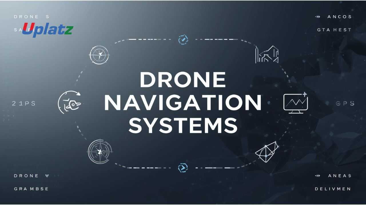 Price Match Guarantee
Full Lifetime Access
Access on any Device
Technical Support
Secure Checkout
Course Completion Certificate
Price Match Guarantee
Full Lifetime Access
Access on any Device
Technical Support
Secure Checkout
Course Completion Certificate
 97% Started a new career
BUY THIS COURSE (
97% Started a new career
BUY THIS COURSE (GBP 10 GBP 29 )-
 86% Got a pay increase and promotion
Students also bought -
-

- Computer Vision for Robotics
- 10 Hours
- GBP 10
- 10 Learners
-

- SLAM Navigation
- 10 Hours
- GBP 10
- 10 Learners
-
- Embedded Systems and MATLAB Programming
- 30 Hours
- GBP 10
- 1501 Learners
-
Determine where it is (localization)
-
Understand what surrounds it (perception)
-
Decide where to go next (path planning)
-
Control how it moves (guidance and control)
-
Global navigation systems (GPS, GNSS)
-
Inertial Navigation Systems (INS)
-
Sensors such as IMUs, cameras, LiDAR, radar, ultrasonic sensors
-
Sensor fusion algorithms
-
State estimation filters
-
Control laws and flight controllers
-
Autonomous decision-making and AI
-
GPS / GNSS (latitude, longitude, altitude)
-
Inertial Measurement Units (accelerometers, gyroscopes)
-
Magnetometers (heading)
-
Visual odometry
-
LiDAR-based localization
-
Kalman Filters
-
Extended Kalman Filters (EKF)
-
Unscented Kalman Filters (UKF)
-
Complementary filters
-
Stereo vision
-
Monocular vision
-
LiDAR scanning
-
Depth estimation
-
Occupancy grids
-
A* and D* algorithms
-
RRT and RRT*
-
Potential field methods
-
Grid-based planners
-
Sampling-based planners
-
PID controllers
-
Model-based controllers
-
Nonlinear control
-
Adaptive control
-
Recognize objects
-
Classify terrain
-
Adapt mission goals
-
Handle failures
-
Strong understanding of autonomous robotics
-
Practical skills in sensor fusion and SLAM
-
Knowledge of control systems and real-time navigation
-
Ability to design autonomous UAV missions
-
Experience with robotics software frameworks
-
High-value skills applicable to drones, robotics, and autonomous vehicles
-
Fundamentals of UAV navigation
-
GPS, INS, and sensor limitations
-
Sensor fusion and Kalman filtering
-
Visual navigation and SLAM
-
Obstacle detection and avoidance
-
Path planning algorithms
-
Drone control systems
-
Autonomous mission planning
-
Simulation and real-world testing
-
Capstone: build a complete drone navigation pipeline
-
Begin with navigation fundamentals
-
Practice sensor fusion concepts using simulations
-
Study SLAM and mapping techniques
-
Experiment with path-planning algorithms
-
Integrate perception with control systems
-
Build an autonomous navigation project as the capstone
-
Robotics Engineers
-
UAV / Drone Engineers
-
Aerospace Engineers
-
Embedded Systems Engineers
-
AI & Computer Vision Engineers
-
Students interested in autonomous systems
-
Researchers in robotics and control systems
By the end of this course, learners will:
-
Understand drone navigation architectures
-
Implement GPS- and INS-based navigation
-
Apply sensor fusion techniques
-
Use SLAM for mapping and localization
-
Design path-planning and obstacle-avoidance systems
-
Integrate navigation with control algorithms
-
Build an autonomous drone navigation solution
Course Syllabus
Module 1: Introduction to Drone Navigation
-
UAV fundamentals
-
Navigation challenges
Module 2: Sensors & Positioning
-
GPS, IMU, magnetometers
Module 3: Inertial Navigation Systems (INS)
-
Drift and correction
Module 4: Sensor Fusion
-
Kalman filters
-
EKF and UKF
Module 5: Mapping & SLAM
-
Visual SLAM
-
LiDAR-based SLAM
Module 6: Path Planning Algorithms
-
A*, RRT, D*
Module 7: Obstacle Avoidance
-
Real-time perception
Module 8: Guidance & Control Systems
-
PID control
-
Flight stability
Module 9: Autonomous Missions
-
Waypoints
-
Decision-making
Module 10: Simulation & Capstone Project
-
Build an autonomous navigation system
Learners will receive a Uplatz Certificate in Drone Navigation Systems, validating expertise in autonomous UAV navigation, perception, and control.
This course prepares learners for roles such as:
-
Drone Navigation Engineer
-
Robotics Engineer
-
UAV Systems Engineer
-
Autonomous Systems Engineer
-
Aerospace Software Engineer
-
Computer Vision Engineer
-
Research Engineer (Robotics)
1. What is drone navigation?
The process that allows a drone to determine position, plan paths, and move autonomously.
2. Why is GPS alone insufficient?
GPS fails indoors and lacks precision in dense environments.
3. What is sensor fusion?
Combining multiple sensor inputs for accurate state estimation.
4. What is SLAM?
Simultaneous Localization and Mapping—building a map while navigating.
5. What algorithms are used for path planning?
A*, RRT, D*, and sampling-based methods.
6. What is an IMU?
A sensor measuring acceleration and angular velocity.
7. What role does control play in navigation?
It converts navigation decisions into stable motor actions.
8. How do drones avoid obstacles?
Using real-time perception from cameras or LiDAR.
9. What is autonomous navigation?
Navigation without human intervention using onboard intelligence.
10. Where are drone navigation systems used?
Logistics, agriculture, defense, inspection, and disaster response.