


( 10 Students )


SLAM Navigation
Master SLAM algorithms and navigation pipelines to build autonomous robots, drones, and vehicles that can map unknown environments and navigate intell Price Match Guarantee
Full Lifetime Access
Access on any Device
Technical Support
Secure Checkout
Course Completion Certificate
Price Match Guarantee
Full Lifetime Access
Access on any Device
Technical Support
Secure Checkout
Course Completion Certificate
 97% Started a new career
BUY THIS COURSE (
97% Started a new career
BUY THIS COURSE (GBP 10 GBP 29 )-
 86% Got a pay increase and promotion
Students also bought -
-
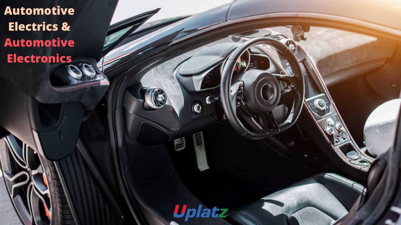
- Automotive Electrics and Automotive Electronics
- 20 Hours
- GBP 10
- 97 Learners
-
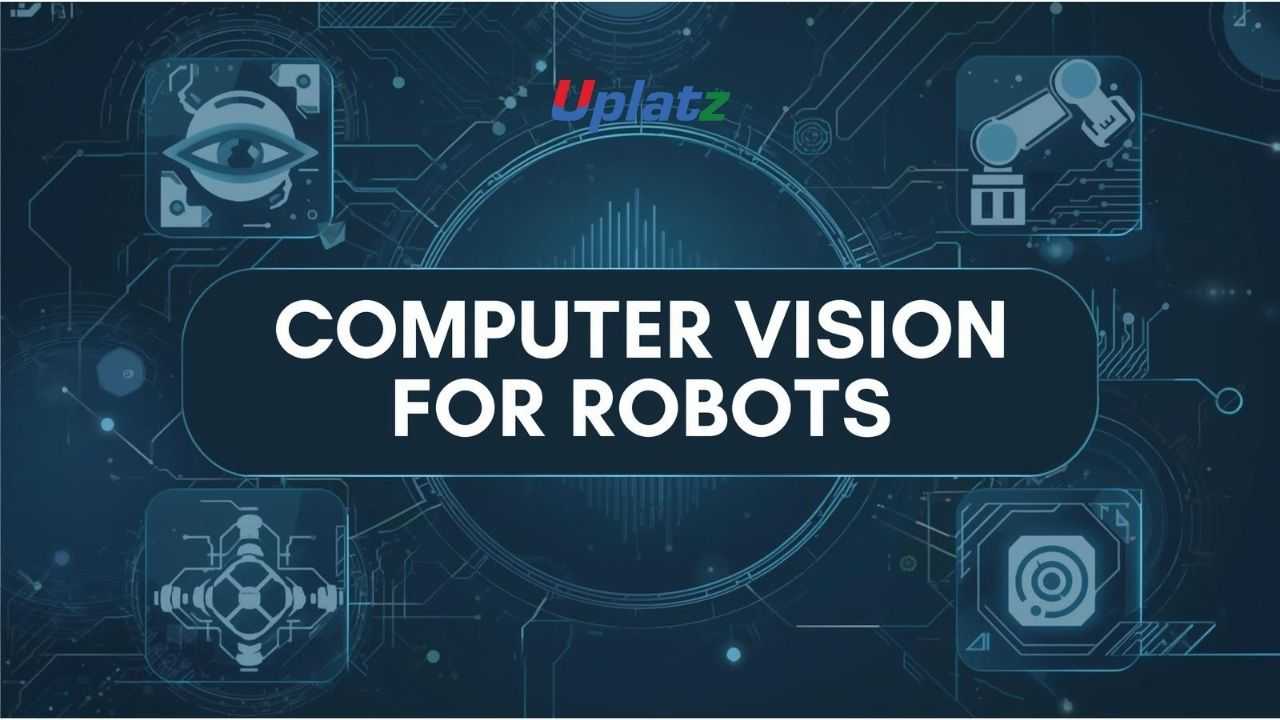
- Computer Vision for Robotics
- 10 Hours
- GBP 10
- 10 Learners
-

- Computer Hardware Engineering
- 10 Hours
- GBP 10
- 760 Learners
-
Localization – determining the position and orientation of a robot or agent
-
Mapping – building a representation of the surrounding environment
-
Navigation – planning and executing motion safely and efficiently
-
Operation in unknown or partially known environments
-
Real-time performance
-
Robustness to sensor noise and uncertainty
-
Adaptability to dynamic environments
-
Sensor fusion across multiple data sources
-
LiDAR
-
RGB cameras
-
Depth cameras
-
IMU (Inertial Measurement Unit)
-
Wheel encoders
-
Radar and ultrasonic sensors
-
Kalman Filters (EKF, UKF)
-
Particle Filters (FastSLAM)
-
Graph-based optimization (Pose graphs)
-
Occupancy grids
-
Feature-based maps
-
Point clouds
-
Semantic maps
-
Global path planning (A*, Dijkstra)
-
Local planning and obstacle avoidance
-
Trajectory optimization
-
Dynamic replanning
-
Deep understanding of autonomous navigation systems
-
Strong foundation in probabilistic robotics
-
Hands-on knowledge of sensor fusion and mapping
-
Skills applicable to robotics, AI, and autonomous vehicles
-
Ability to design real-time navigation pipelines
-
High-demand expertise across multiple industries
-
Fundamentals of localization, mapping, and navigation
-
Probabilistic robotics concepts
-
Kalman filters and particle filters
-
Visual SLAM, LiDAR SLAM, and sensor fusion
-
Graph-based SLAM and optimization
-
Path planning and obstacle avoidance
-
ROS-based SLAM pipelines
-
Navigation stacks and costmaps
-
Real-world SLAM use cases and challenges
-
Capstone: build a complete SLAM navigation system
-
Start with probabilistic estimation basics
-
Understand sensors and noise models
-
Implement simple localization algorithms
-
Progress to full SLAM pipelines
-
Practice navigation using simulated environments
-
Analyze failure cases and improve robustness
-
Complete the capstone navigation project
-
Robotics Engineers
-
Autonomous Vehicle Engineers
-
AI & ML Engineers
-
Embedded Systems Developers
-
Mechatronics & Control Engineers
-
Students specializing in robotics or AI
-
Researchers in autonomous systems
By the end of this course, learners will:
-
Understand SLAM principles and challenges
-
Implement localization and mapping algorithms
-
Use probabilistic filters for state estimation
-
Design navigation and path-planning pipelines
-
Integrate sensors for real-time SLAM
-
Build SLAM systems using ROS and simulations
-
Apply SLAM to robotics and autonomous systems
Course Syllabus
Module 1: Introduction to SLAM & Navigation
-
Autonomy and robotics overview
-
SLAM problem formulation
Module 2: Sensors & Perception
-
LiDAR, cameras, IMU
-
Sensor noise and calibration
Module 3: Localization Techniques
-
Odometry
-
Kalman Filters
-
Particle Filters
Module 4: Mapping Techniques
-
Occupancy grid maps
-
Feature-based maps
-
Point cloud mapping
Module 5: Visual SLAM
-
Monocular SLAM
-
Stereo SLAM
-
RGB-D SLAM
Module 6: LiDAR SLAM
-
Scan matching
-
ICP
-
Graph-based LiDAR SLAM
Module 7: Graph-Based SLAM
-
Pose graphs
-
Loop closure
-
Optimization
Module 8: Navigation & Path Planning
-
Global planners
-
Local planners
-
Obstacle avoidance
Module 9: ROS Navigation Stack
-
Costmaps
-
Localization integration
-
Real-time navigation
Module 10: Capstone Project
-
Build a full SLAM navigation system
Learners receive a Uplatz Certificate in SLAM Navigation & Autonomous Systems, validating expertise in localization, mapping, and autonomous navigation.
This course prepares learners for roles such as:
-
Robotics Engineer
-
Autonomous Systems Engineer
-
SLAM Engineer
-
AI Robotics Engineer
-
Self-Driving Vehicle Engineer
-
UAV Navigation Engineer
-
Research Engineer (Robotics)
1. What is SLAM?
Simultaneous Localization and Mapping — building a map while estimating position.
2. Why is SLAM important?
It enables autonomous navigation in unknown environments.
3. What sensors are used in SLAM?
LiDAR, cameras, IMU, wheel encoders.
4. What is localization?
Estimating the robot’s pose within an environment.
5. What is mapping?
Building a representation of the environment.
6. What filters are used in SLAM?
Kalman filters and particle filters.
7. What is loop closure?
Detecting previously visited locations to correct drift.
8. What is graph-based SLAM?
An optimization-based approach using pose graphs.
9. What is ROS used for in SLAM?
Implementing and integrating SLAM and navigation pipelines.
10. What is the difference between SLAM and GPS navigation?
SLAM works without external infrastructure; GPS requires satellites.